Remote sensing
Comprehensive solutions for LiDAR imaging and data collection tailored for surveillance, agriculture, forest inventory, and other applications...
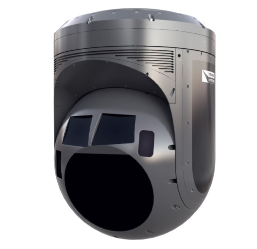
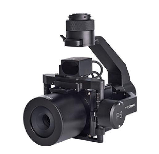
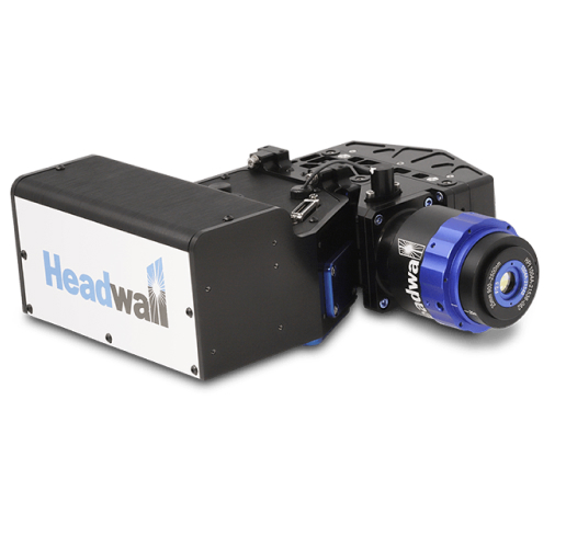
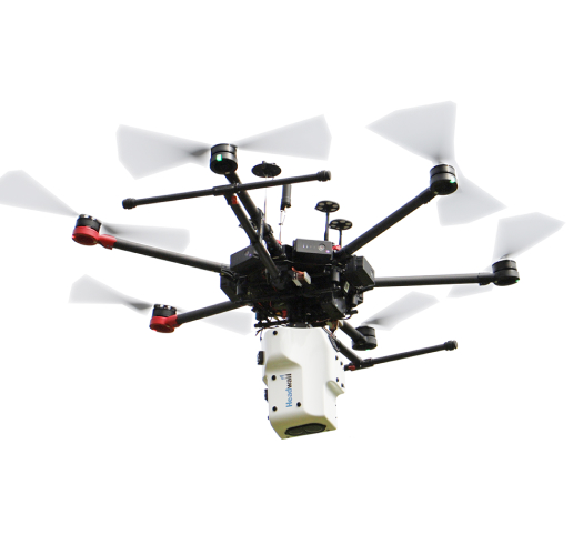
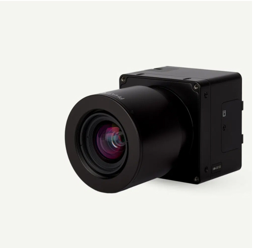
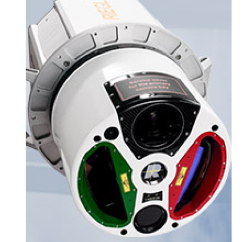
Remote sensing is a technique that involves collecting data remotely (without physical contact) from a specific object or area. This data is generated by a remote device, such as a LiDAR system (3D models), a hyperspectral system (chemical signature), an infrared camera (thermal signature), or a high-resolution RGB camera (mapping), among others.
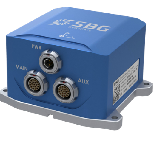
By combining this data with that provided by associated GPS positioning systems, we obtain point clouds and georeferenced images and videos, enabling us to extract information for subsequent analysis.



OUR EXPERIENCE
Where we have supplied our remote sensing products
THE VALUE OF THE ÁLAVA GROUP
Why choose our products
We share our knowledge
Remote sensing techniques in various applications
According to the IGN (National Geographic Institute), remote sensing is the technique of acquiring data on the Earth’s surface using sensors installed on space platforms. The electromagnetic interaction between the ground and the sensor generates a set of data that is subsequently processed to obtain interpretable information about the Earth.
Today, there is a wide variety of technological systems that allow us to apply this technique in various fields, all of which are rapidly expanding, and where only creativity sets the limits.