

LiDAR for Drones
LiDAR (Light Detection and Ranging) technology for drones revolutionizes the way we capture environmental data. Using pulses of laser light, LiDAR measures distances with millimeter precision, creating detailed 3D maps in real time.
LiDAR technology is ideal for surveying, precision agriculture and forestry management, improving efficiency and decision making and providing crucial information quickly and accurately.
Description
Measurements of the environment to the nearest millimeter
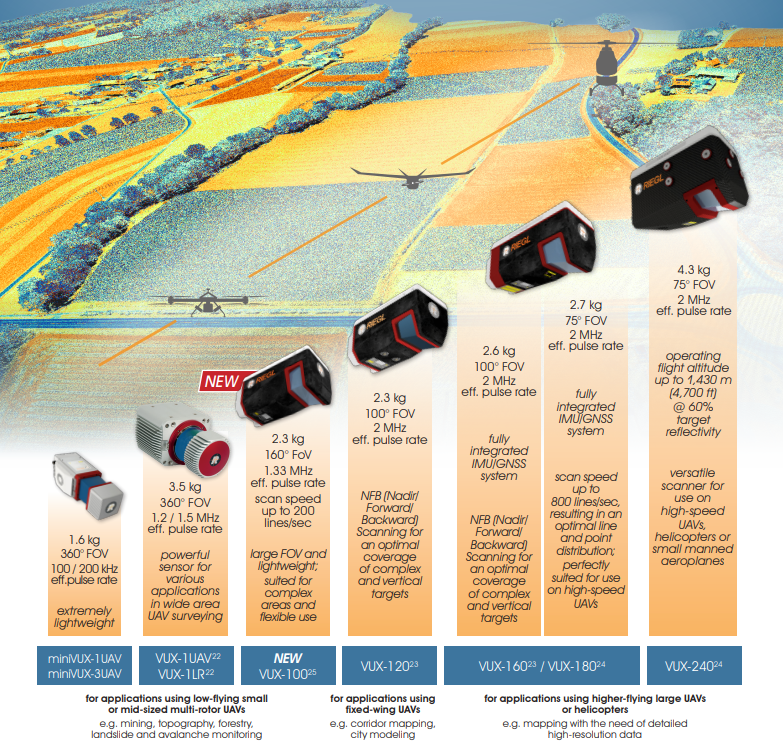
The LiDAR technology for drones, promoted by Álava Ingenieros and Rieglallows accurate and fast 3D mapping in complex and inaccessible terrain. They offer models such as the miniVUX series for small commercial drones, the VUX-100 for complex areas and the VUX-120 or VUX-160 with NFB technology, optimized for vertical structures and high flights. The VUX-180 and VUX-240 models provide solutions for large-scale projects.
The implementation of LiDAR systems in drones requires proper planning. At Alava Ingenieros we not only provide high quality equipment, but also full technical support, from system selection to integration and after-sales support, ensuring a successful implementation of LiDAR on UAVs.
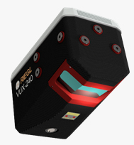
LiDAR models for drone:
- miniVUX Series: Compact and lightweight models designed for integration in small UAVs, ideal for mapping in urban environments or areas with dense vegetation with limited extension. Up to 300 kHz and 5 returns.
- VUX-1UAV22 high-precision LiDAR designed for medium-sized UAVs. Up to 360-degree field of view, 1.2 MHz pulse emission rate, multiple returns (up to 15) and ability to operate in complex environments.
- Riegl VUX-10025 Lightweight and very versatile model with a 160-degree field of view and a pulse repetition rate of up to 1.5 MHz. Ideal for mapping complex terrain and narrow canyons.
- Riegl VUX-12023 Novel NFB (nadir-forward-backward) technology with 3 scan angles: nadir, +10° and -10°, optimizing the mapping of vertical structures. Pulse emission frequency of 2.4 MHz and up to 15 returns.
- Riegl VUX-16023 Also with NFB technology, but intended for higher flying altitudes (<900m), it provides up to 32 returns per pulse emitted.
- Riegl VUX-18024 Oriented to operations with high linear speeds thanks to its 2.4 MHz pulse emission rate and 800 lines/s scanning speed.
- Riegl VUX-24024 high-performance LiDAR, optimized for mapping on larger drones. With an acquisition rate of 2.4 MHz and 600 lines/s, it offers a maximum measurement range of up to 1,430m.
Documents
Other products you may be interested in
LiDAR for Autonomous Vehicle
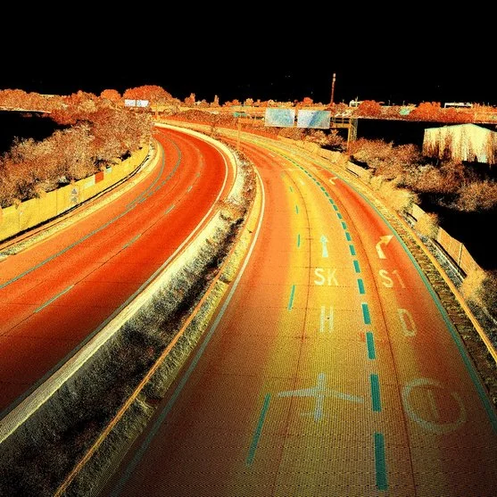
Ouster's LiDAR technology enables the accurate capture of three-dimensional data in a variety of industrial, security, traffic, automotive, robotics and crowd analysis applications. Its high-resolution digital sensors offer adaptable solutions for multiple environments and needs.
LiDAR for aircraft/helicopter
LiDAR technology for airplanes and helicopters makes it possible to create detailed topographic models (high-density 3D point clouds) with sub-meter accuracy. It is an essential tool for capturing 3D data of large territories such as agricultural, forestry or urban areas, industrial plants and open pit mines. Álava Ingenieros, in collaboration with Riegl, offers multiple LiDAR systems for manned aviation:
More information about LiDAR for Drones
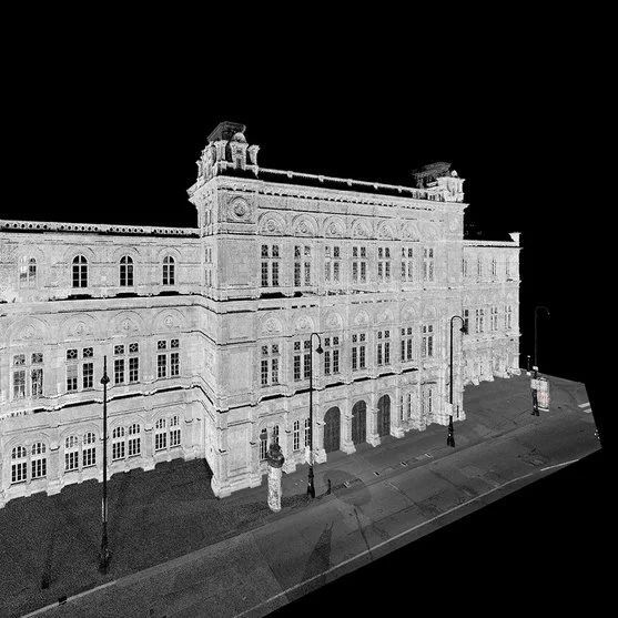
LiDAR technology uses a laser light beam to create a precisely georeferenced point cloud. The most advanced LiDAR systems employ a single-beam laser and a moving mirror to direct the light pulses. This single-beam laser emits light pulses in a single direction, while the moving mirror redirects these pulses in multiple directions, this technology is applied to obtain the highest quality and accuracy for obtaining the point cloud. LiDAR technology allows the possibility of multiple returns, which means that the light pulses can reflect off different surfaces before returning to the sensor.
In addition,LiDAR systems integrate IMU (Inertial Measurement Unit) and GNSS (Global Navigation Satellite System) systems. The combination of LiDAR with IMU and GNSS allows obtaining highly accurate geospatial data. Thanks to the integration of RTK (Real Time Kinematics), it is possible to further improve the accuracy of geospatial data, reducing positioning errors at centimeter level. This makes LiDAR-equipped systems ideal for applications requiring extreme accuracy, such as surveying, mapping and natural resource management.
Airborne and Drone LiDAR Applications
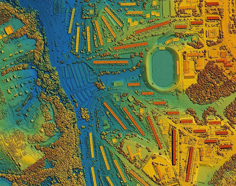
- Mapping and Surveying: Airborne and drone LiDARs are essential tools for the creation of Digital Terrain Models and Digital Surface Models. These models provide accurate and detailed data, essential for high-resolution mapping and surveying.
- Forest Management: In forest management, LiDARs enable structural characterization of forests. This includes the measurement of canopy height and diameter at breast height (DBH) of trees, crucial data for biomass estimation and sustainable forest resource planning.
- Environmental Monitoring: LiDAR systems are used for monitoring environmental changes, such as soil erosion and glacier dynamics. These data are vital for environmental impact studies and natural resource management.
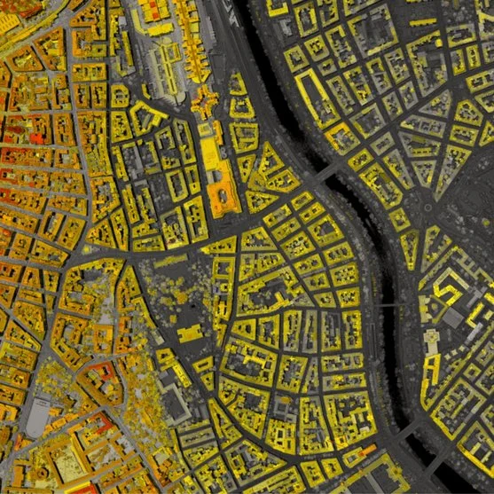
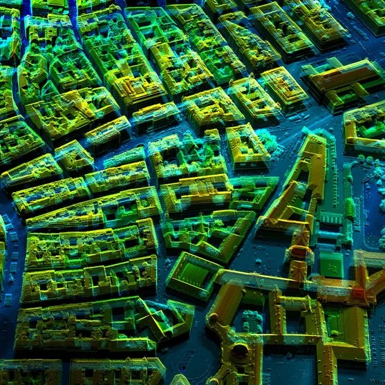
- Urban Planning and Construction: In urban planning and construction, aerial and drone LiDARs facilitate the creation of detailed 3D models of urban areas. These models are essential for infrastructure planning and development, improving the efficiency and accuracy of projects.
- Archaeology: LiDARs are powerful tools in archaeology, allowing the discovery and mapping of archaeological sites hidden under dense vegetation. This facilitates the documentation and preservation of historical heritage without the need for invasive excavation.
- Bathymetry: LiDAR bathymetry allows accurate mapping of seabeds and water bodies. These data are essential for hydrographic studies, aquatic resource management and coastal infrastructure planning.
Benefits of technology
LiDAR technology embedded in drones and aerial assets offers a number of benefits that make it an indispensable tool for various industries. Accuracy and detail are the key features of LiDAR systems, providing high-resolution three-dimensional data that is essential for mapping, surveying and urban planning.
Efficiency and speed are other key benefits. LiDAR-equipped drones can cover large areas in a short time, significantly reducing project costs and time. This is especially useful in forest management and environmental monitoring, where speed of data acquisition is crucial.
The versatility of LiDAR systems allows their use in applications as diverse as archaeology, bathymetry and construction. In archaeology, LiDARs can uncover sites hidden under vegetation, while in bathymetry, they provide accurate data on underwater topography.
In addition, safety is an important benefit. LiDAR drones can access areas that are dangerous or inaccessible to humans, ensuring the safety of personnel while obtaining critical data.
In summary, LiDAR technology in drones and aerial assets offers accuracy, efficiency, versatility and safety, making it an ideal solution for a wide range of industrial applications.
