

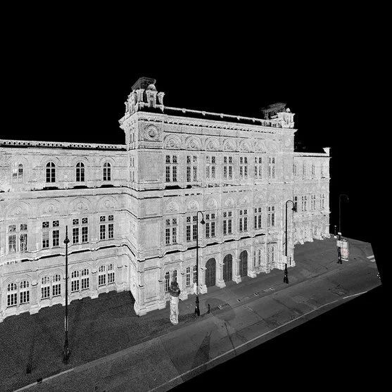

Description
Riegl’s LiDAR technology for static scanning enables the capture of highly accurate 3D models in terrestrial applications, with great versatility for sectors such as surveying, archaeology, construction, and mining. These systems are designed to generate high-density 3D point clouds, capturing minute details of terrain and structures. Álava Ingenieros, in collaboration with Riegl, offers advanced static scanning solutions suitable for various surveying needs.
LiDAR models for static scanning
- Riegl VZ-400i: Lightweight and fast terrestrial scanner, ideal for general surveying, building and structure mapping. With its acquisition speed and advanced connectivity, it offers high efficiency in the field. Range up to 800m.
- Riegl VZ-600i: Evolution of the VZ-400i, optimized to capture data at higher resolution and speed in industrial, archaeological and infrastructure survey applications.
- Riegl VZ-2000i: Long range scanner suitable for topography and surveys in open and complex terrain. With its capacity of up to 2 km distance, it is ideal for mapping in mining and environmental studies.
- Riegl VZ-4000i: Designed to capture accurate data over large areas at distances of up to 4 km, ideal for applications in mining, geological exploration and natural resource conservation.
- Riegl VZ-6000: Ultra long range scanner for specialized applications, capturing data at distances up to 6 km, perfect for high precision projects in mining and exploration.
- Riegl VMR: Versatile land mobile scanning system, designed to capture detailed data in complex or difficult to access areas, ideal for surveys in industrial environments and infrastructure works.
Success stories
Riegl’s static scanning systems have been used in archaeological projects, urban mapping, and mining surveys, where high accuracy in capturing details and surfaces is required.
How to choose the right LiDAR system for static scanning
To select the right static scanning system, it is important to consider the required range, point density and type of project. Álava Ingenieros, together with Riegl, provides technical advice to help choose the equipment that best suits the specific requirements of each project.
Documents
Other products you may be interested in
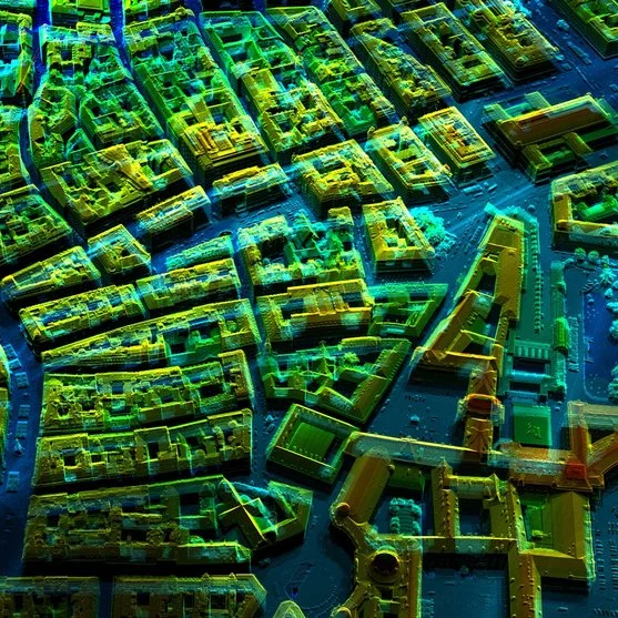
LiDAR for aircraft/helicopter
LiDAR technology for airplanes and helicopters makes it possible to create detailed topographic models (high-density 3D point clouds) with sub-meter accuracy. It is an essential tool for capturing 3D data of large territories such as agricultural, forestry or urban areas, industrial plants and open pit mines. Álava Ingenieros, in collaboration with Riegl, offers multiple LiDAR systems for manned aviation:
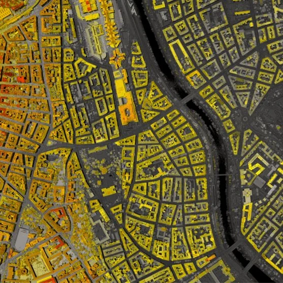
LiDAR for Autonomous Vehicle
Ouster's LiDAR technology enables the accurate capture of three-dimensional data in a variety of industrial, security, traffic, automotive, robotics and crowd analysis applications. Its high-resolution digital sensors offer adaptable solutions for multiple environments and needs.
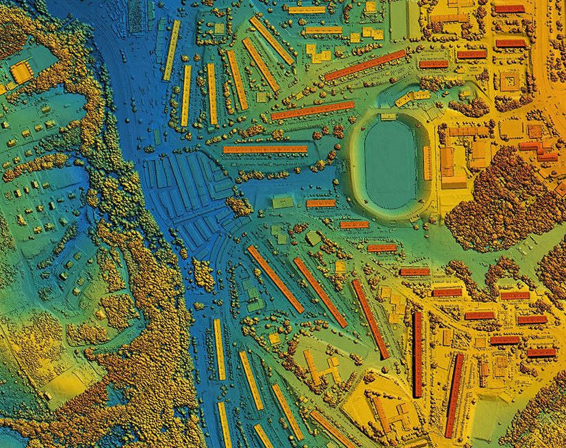
LiDAR for Drones
LiDAR (Light Detection and Ranging) technology for drones revolutionizes the way we capture environmental data. Using pulses of laser light, LiDAR measures distances with millimeter precision, creating detailed 3D maps in real time. LiDAR technology is ideal for surveying, precision agriculture and forestry management, improving efficiency and decision making and providing crucial information quickly and accurately.
More information about Static LiDAR
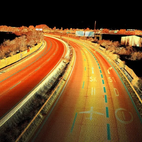
Static LiDAR is an advanced technology used to capture highly accurate geospatial data from a fixed position. Using laser pulses, this system generates 3D point clouds that provide detailed digital models of any environment. It is essential in applications such as civil engineering, archaeology and infrastructure monitoring, where accuracy and detail are key.
What is static LiDAR?
Static LiDAR uses a laser scanner mounted at a fixed location to measure distances to objects and surfaces. Through the emission of laser pulses, position and elevation data is collected and transformed into 3D point clouds. This type of LiDAR is especially useful for projects that require precise capture of specific areas, allowing detailed inspections of structures, terrain and landscapes.
Benefits of static LiDAR
The use of static LiDAR offers several key benefits:
- High accuracy: Captures data with sub-meter accuracy, ideal for applications requiring high detail.
- Uninterrupted scanning: Capturing from a fixed position ensures continuous, detailed scanning of the environment.
- Versatility: It can be used both indoors and outdoors, in structural monitoring projects or in the documentation of historical sites.
Static LiDAR applications
Static LiDAR has applications in multiple sectors:
- Civil engineering: Infrastructure modeling, construction planning and geological risk assessment.
- Infrastructure monitoring: Condition assessment of bridges, tunnels and buildings.
- Archaeology and heritage: Accurate documentation of historical sites and cultural structures.
- Mining: Land evaluation and planning of mining operations.
Static LiDAR oriented Riegl systems
Riegl, a leader in LiDAR technology, offers advanced solutions such as RiSCAN PRO, software designed to manage and process data generated by static LiDAR systems. RiSCAN PRO enables detailed visualization and analysis of point clouds, facilitating the creation of accurate digital models for a variety of applications, from civil engineering to archaeology.
Advantages of Riegl RiSCAN PRO
Riegl’ s RiSCAN PRO software is an essential tool for managing the static LiDAR workflow. It offers:
- Advanced data processing: Capable of handling large volumes of point cloud data efficiently.
- Detailed visualization: Facilitates the creation of three-dimensional models with a high level of accuracy.
- Optimization of work time: Enables fast data processing, improving productivity in projects that require immediate results.
Case Studies: Static LiDAR in Action
Static LiDAR has been used in key projects such as monitoring large infrastructure and documenting archaeological sites. Its ability to capture fine detail has been instrumental in construction planning and cultural heritage conservation.
Take advantage of Riegl’s static LiDAR solutions and RiSCAN PRO software to get accurate and detailed results for your geospatial projects.
