

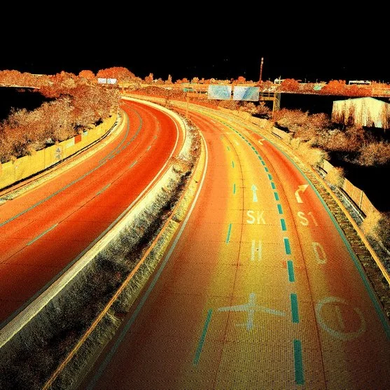

Description
LiDAR models for Mobile Mapping:
- Riegl VMY-1: Extremely compact and cost-effective system, equipped with a miniVUX-HA scanner offering up to 300 kHz pulse repetition rate and 150 scan lines per second. Suitable for basic mobile mapping applications.
- Riegl VMY-2: Compact, cost-effective system with two miniVUX-HA scanners, providing up to 600 kHz pulse repetition rate and 300 scan lines per second. Ideal for urban mapping and asset management applications.
- Riegl VMQ-1HA: Compact and lightweight system with a VUX-1HA²² scanner, offering up to 1 MHz pulse repetition rate and 200 scan lines per second. Ideal for mobile mapping applications in urban and rural areas.
- Riegl VMX-2HA: High-speed, high-performance system with two VUX-1HA²² scanners, achieving up to 3.6 MHz pulse repetition rate and 500 scan lines per second. Designed for topographic grade mobile mapping applications.
- Riegl VMX-RAIL: Integrated system for railroad track mapping and gauge analysis, equipped with three VUX-1HA²² scanners. Enables efficient capture of dense and accurate rail corridor data.
- Riegl VMZ: Mobile mapping system designed for applications in hard-to-reach areas, providing accurate and detailed data in complex environments.s.
Success stories
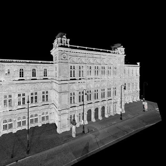
RIEGL’s Mobile Mapping LiDAR systems have been instrumental in detailed transportation and urban infrastructure mapping projects, including surveys of road networks and rail systems, as well as city reconstruction studies.
How to choose the right LiDAR system for Mobile Mapping
When selecting a LiDAR system for Mobile Mapping, it is essential to consider the required resolution, the capacity to collect data in motion, the type of infrastructure to be mapped and the operational conditions. Álava Ingenieros, in collaboration with RIEGL, offers advice to ensure that the equipment selected meets the specific requirements of each project.
Documents
Other products you may be interested in
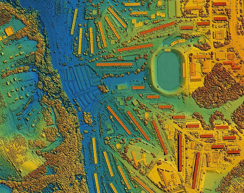
LiDAR for Drones
LiDAR (Light Detection and Ranging) technology for drones revolutionizes the way we capture environmental data. Using pulses of laser light, LiDAR measures distances with millimeter precision, creating detailed 3D maps in real time. LiDAR technology is ideal for surveying, precision agriculture and forestry management, improving efficiency and decision making and providing crucial information quickly and accurately.
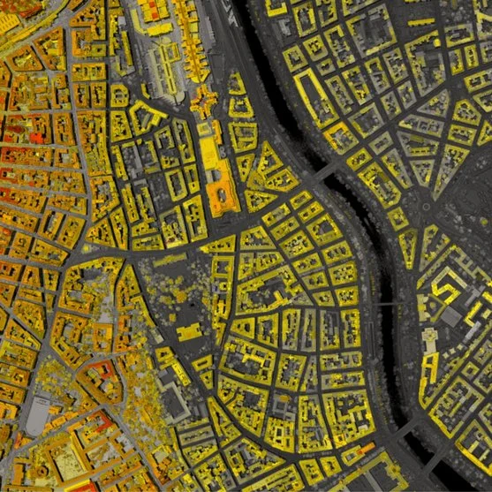
LiDAR for Autonomous Vehicle
Ouster's LiDAR technology enables the accurate capture of three-dimensional data in a variety of industrial, security, traffic, automotive, robotics and crowd analysis applications. Its high-resolution digital sensors offer adaptable solutions for multiple environments and needs.
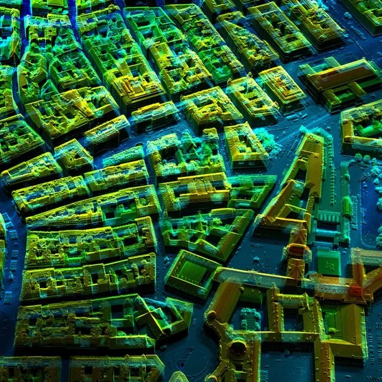
LiDAR for aircraft/helicopter
LiDAR technology for airplanes and helicopters makes it possible to create detailed topographic models (high-density 3D point clouds) with sub-meter accuracy. It is an essential tool for capturing 3D data of large territories such as agricultural, forestry or urban areas, industrial plants and open pit mines. Álava Ingenieros, in collaboration with Riegl, offers multiple LiDAR systems for manned aviation:
More information about LiDAR mobile mapping
LiDAR for Mobile Mapping has revolutionized terrestrial mapping and exploration, enabling the accurate capture of 3D data from moving vehicles. This advanced technology, implemented on mobile platforms, uses laser pulses to measure distances to the earth’s surface, generating dense 3D point clouds. It is essential in civil engineering, infrastructure management and urban planning projects that require high accuracy and efficiency.
What is LiDAR Mobile Mapping?
LiDAR Mobile Mapping is a system that, through the use of laser pulses, measures distances from a moving terrestrial platform, such as a vehicle. The captured data is converted into three-dimensional models of the environment. Terrestrial LiDAR systems, such as those provided by Riegl, are essential for projects that require a detailed representation of the terrain in real time, such as LiDAR technology for mapping and geospatial surveys.
Mobile LiDAR Mapping Applications
Mobile LiDAR has applications in a variety of sectors:
- Civil engineering: Road modeling, volume calculation and infrastructure planning.
- Infrastructure management: Monitoring and maintenance of power grids, roads and bridges.
- Urban planning: Creation of detailed maps for urban expansion.
- Mining: Land evaluation and earthworks planning.
- Archaeology: Accurate documentation of historical sites.
Advantages of Mobile LiDAR
LiDAR Mobile Mapping offers key advantages over traditional mapping methods:
- Accuracy: Generates data with sub-meter accuracy, capturing even the smallest details.
- Efficiency: It allows to cover large areas in a reduced time, even in difficult to access environments.
- Versatility: Works in a variety of conditions, from dense urban areas to complex natural terrain.
Mobile LiDAR mapping equipment
Among the most advanced equipment in Mobile LiDAR Mapping are Riegl’s systems, such as the VMQ-1HA and VMX-1HA, which provide high-precision measurements at traffic speeds. These systems allow optional cameras to be integrated to add textures and colors to LiDAR data, resulting in higher quality 3D rendering. In addition, Riegl RiPROCESS software optimizes the processing of LiDAR data, ensuring seamless integration of the results into project planning and design.
LiDAR data integration
Data collected through mobile LiDAR is processed and integrated into geographic information systems (GIS), enabling detailed analysis for applications such as infrastructure management and urban planning. The use of Riegl RiPROCESS facilitates the management of large volumes of data, improving the efficiency and accuracy of geospatial data-driven decision making.
LiDAR solutions for civil engineering
LiDAR Mobile Mapping is crucial for civil engineering projects, from road modeling to construction planning. It enables detailed terrain analysis and geological risk assessment, providing critical data for decision making.
Rely on Riegl’s LiDAR systems and RiPROCESS software to take your land mapping and cartography projects to a new level of accuracy and efficiency.
