


LiDAR for aircraft/helicopter
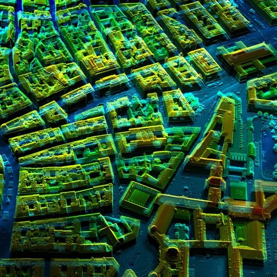
LiDAR technology for airplanes and helicopters makes it possible to create detailed topographic models (high-density 3D point clouds) with sub-meter accuracy. It is an essential tool for capturing 3D data of large territories such as agricultural, forestry or urban areas, industrial plants and open pit mines. Álava Ingenieros, in collaboration with Riegl, offers multiple LiDAR systems for manned aviation:
Description
LiDAR technology for airplanes and helicopters makes it possible to create detailed topographic models (high-density 3D point clouds) with sub-meter accuracy. It is an essential tool for capturing 3D data of large territories such as agricultural, forestry or urban areas, industrial plants and open pit mines. Álava Ingenieros, in collaboration with Riegl, offers multiple LiDAR systems for manned aviation:
LiDAR models for airplanes and helicopters:
- Riegl VQ-480 II: Versatile and lightweight LiDAR, designed for medium and low altitude surveying applications (up to 1,850m AGL). It offers a field of view of up to 75 degrees and a pulse repetition rate (PRR) of 2 MHz, ideal for mapping urban and agricultural areas.
- Riegl VQ-580 II-S: Optimized for aerial surveying of large areas and large linear projects. 75° field of view and PRR up to 2 MHz, allows flight heights up to 2,740m.
- Riegl VQ-680: Ideal for urban, forestry and power line mapping. It offers 5 scanning angles in the direction of flight: +20°, +10°, 0°, -10° and -20°, with a horizontal field of view of 60°. This allows the recording of vertical structures and avoids shadowing. 2.4 MHz PRR, 60° field of view and flight altitudes up to 3,440m.
- Riegl VQ-780 II-S: High speed and accuracy for large-scale mapping at flight altitudes up to 5,800m. With a 60° field of view and a pulse repetition rate of up to 2 MHz, it is ideal for extensive and detailed surveys of complex terrain.
- Riegl VQ-1560 III-S: Dual channel LiDAR system ideal for mapping very large areas, urban areas or linear infrastructure with a high density of points. Its cross-fire scanning pattern allows forward, backward and nadir views, with pulse repetition rates up to 4.4 MHz, operating at altitudes up to 5,770m.
- Riegl VQ-1460: With repetition rates up to 4.4 MHz, it offers an even distribution of points on the ground and allows flight heights up to 6,450m.
Success stories
Airborne LiDAR has proven to be indispensable in projects such as the National Aerial Orthophotography Plan (PNOA – LiDAR) of the National Geographic Institute (IGN) or the inspection of medium, high and very high voltage overhead power lines for Red Eléctrica Española (REE) or private companies in charge of electricity supply distribution.
How to choose the right LiDAR system for your aircraft
When selecting a LiDAR system for airplanes or helicopters, it is important to consider resolution, equipment weight and project needs, as well as operating conditions and expected productivity.
Documents
Other products you may be interested in
LiDAR for Autonomous Vehicle
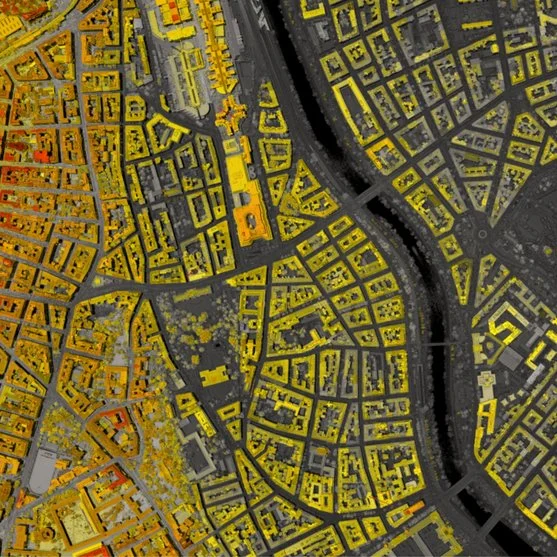
Ouster's LiDAR technology enables the accurate capture of three-dimensional data in a variety of industrial, security, traffic, automotive, robotics and crowd analysis applications. Its high-resolution digital sensors offer adaptable solutions for multiple environments and needs.
LiDAR for Drones
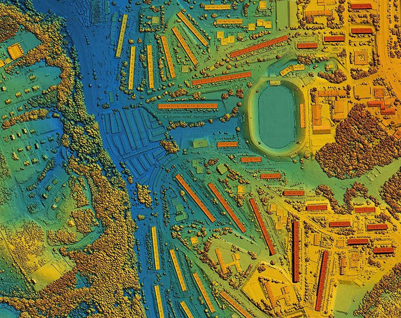
LiDAR (Light Detection and Ranging) technology for drones revolutionizes the way we capture environmental data. Using pulses of laser light, LiDAR measures distances with millimeter precision, creating detailed 3D maps in real time. LiDAR technology is ideal for surveying, precision agriculture and forestry management, improving efficiency and decision making and providing crucial information quickly and accurately.
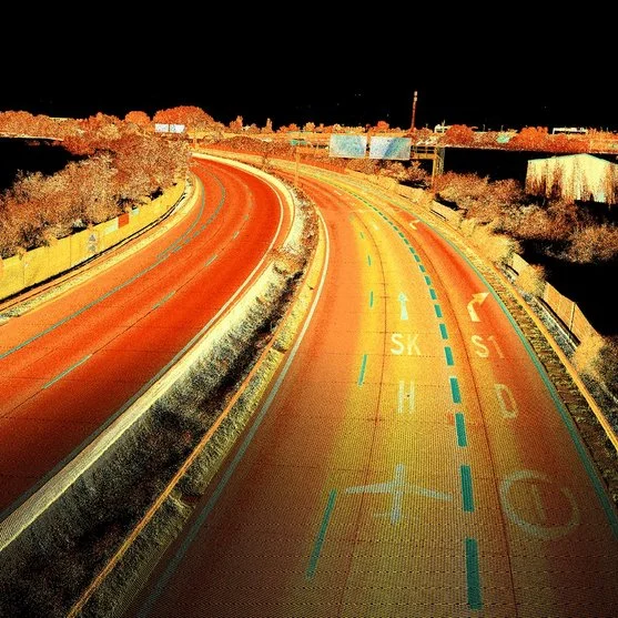
More information about LiDAR for aircraft/helicopter
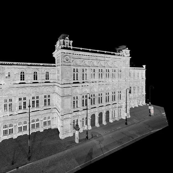
LiDAR technology for airplanes and helicopters has revolutionized the capture of geospatial data, enabling the creation of detailed topographic models with sub-meter accuracy. Using laser pulses to measure distances between an aircraft and the ground, this technology generates high-density 3D point clouds. It is an essential tool in sectors such as civil engineering, environmental management and archeology. Grupo Álava, in collaboration with Riegl, offers advanced solutions to improve accuracy and efficiency in aerial mapping projects.
What is airborne LiDAR?
Airborne LiDAR is a technology that uses laser pulses to measure distance from aircraft or helicopters to the earth’s surface, creating accurate elevation and position data that is compiled into 3D point clouds. These aircraft LiDAR systems allow large areas to be captured quickly, which is essential for applications in aerial surveying, infrastructure inspection and environmental monitoring.
LiDAR applications in aviation
LiDAR systems for airplanes and helicopters offer multiple applications:
- LiDAR mapping with aircraft: Creation of digital elevation models for large areas.
- Helicopter LiDAR survey: Monitoring of power grids, roads and railways.
- LiDAR for aerial surveying: Generation of accurate topographic data for engineering and mining projects.
- Natural resource management: Environmental monitoring and climate and ecological change studies.
Innovations in aeronautical LiDAR technology
Recent advances in aeronautical LiDAR have led to the creation of lighter and more efficient systems, such as the Riegl VUX-120 and Riegl VUX-240. These sensors are designed for manned and unmanned aircraft, offering in-line waveform processing capabilities and the flexibility to adapt to various platforms. This makes them an ideal choice for a wide range of applications, from aerial LiDAR surveys to environmental monitoring.
Riegl RiPROCESS: advanced processing of LiDAR data
A critical part of a successful LiDAR project is the ability to process and analyze the captured data. This is where Riegl RiPROCESS comes in, an advanced software specifically designed to manage large volumes of data generated by LiDAR sensors. RiPROCESS allows you to process, visualize and analyze 3D point clouds, ensuring that the results are accurate and ready to be used in the creation of maps and digital elevation models. Its ability to handle complex data efficiently optimizes workflow and ensures high quality results.
Advantages of LiDAR in aviation
LiDAR in aviation provides:
- Speed and accuracy: Capture large areas in a short time with sub-meter accuracy.
- Vegetation penetration: Ideal for capturing topographic data in wooded areas.
- Access to remote areas: It is an effective solution for areas that are difficult to access or dangerous for ground inspections.
Case Studies: LiDAR in Action
Airborne LiDAR has proven indispensable in projects such as the documentation of the Grand Canyon and the Domitilla catacombs, where its ability to reveal hidden details has been crucial to archaeologists and geologists.
How to choose the right LiDAR system for your aircraft
When selecting a LiDAR system for airplanes or helicopters, it is important to consider resolution, equipment weight and project needs. Riegl products such as the VUX-120 and VUX-240, together with RiPROCESS software, are examples of advanced solutions that combine high quality with the adaptability needed for different applications.
Discover how Riegl’s LiDAR systems and RiPROCESS software can transform the accuracy and efficiency of your aerial projects with the most advanced technology on the market.
