

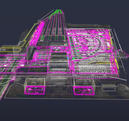

Description
Mobile mapping and digital twin services are key tools for capturing geospatial data and creating accurate 3D models. These technologies enable simplification of data capture, optimization of preventive maintenance and better planning in infrastructure projects.
With applications in infrastructure management, urban planning and security, mobile mapping facilitates data collection in complex areas, while digital twins provide accurate simulations. These services improve operational efficiency and aid in informed decision making.
Mobile mapping and digital twin are advanced technologies that are revolutionizing the way spatial and structural data is captured, managed and visualized in various industries. These services enable accurate 3D representations of the physical world, facilitating decision making, infrastructure analysis and project planning.
What is Mobile Mapping?
Mobile mapping is a system of massive capture of geospatial data through the use of vehicles equipped with advanced sensors such as cameras, laser scanners and GPS systems. These devices collect detailed information about the environment as the vehicle moves, generating accurate and complete 3D maps. It is an ideal solution for linear construction projects where acquisition performance is critical to avoid interference with the operation.
What is the digital twin?
The digital twin is an accurate digital representation of a physical asset, infrastructure or system that collects and analyzes data. With the help of technologies such as mobile mapping, the digital twin enables the creation of interactive 3D models that faithfully replicate the behavior and characteristics of a real-world object or structure. These models not only reflect the current state of the infrastructure, but also make it possible to simulate and predict possible future behavior or problems.
The mobile mapping and digital twin services provided by Álava Ingenieros provide innovative solutions that improve the efficiency of data capture and obtain reliable infrastructure data. These technologies enable more accurate planning and increase safety in sectors such as construction, urban management and transportation. Thanks to their ability to generate detailed 3D models and real-time simulations, they optimize decision-making and facilitate preventive maintenance, ensuring that infrastructures operate safely and efficiently..
Other products you may be interested in
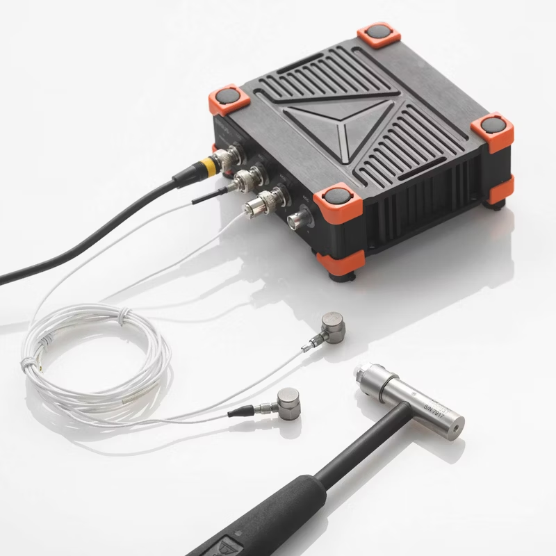
Modal analysis, bridges and viaducts
Operational modal analysis (OMA) is a non-invasive technique used for monitoring bridges in operation. Based on the natural vibrations of the structure, OMA allows the identification of natural frequencies, vibration modes and damping factors without interrupting traffic.
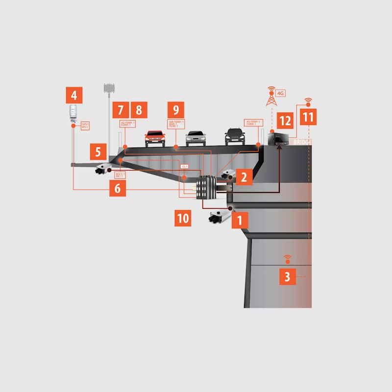
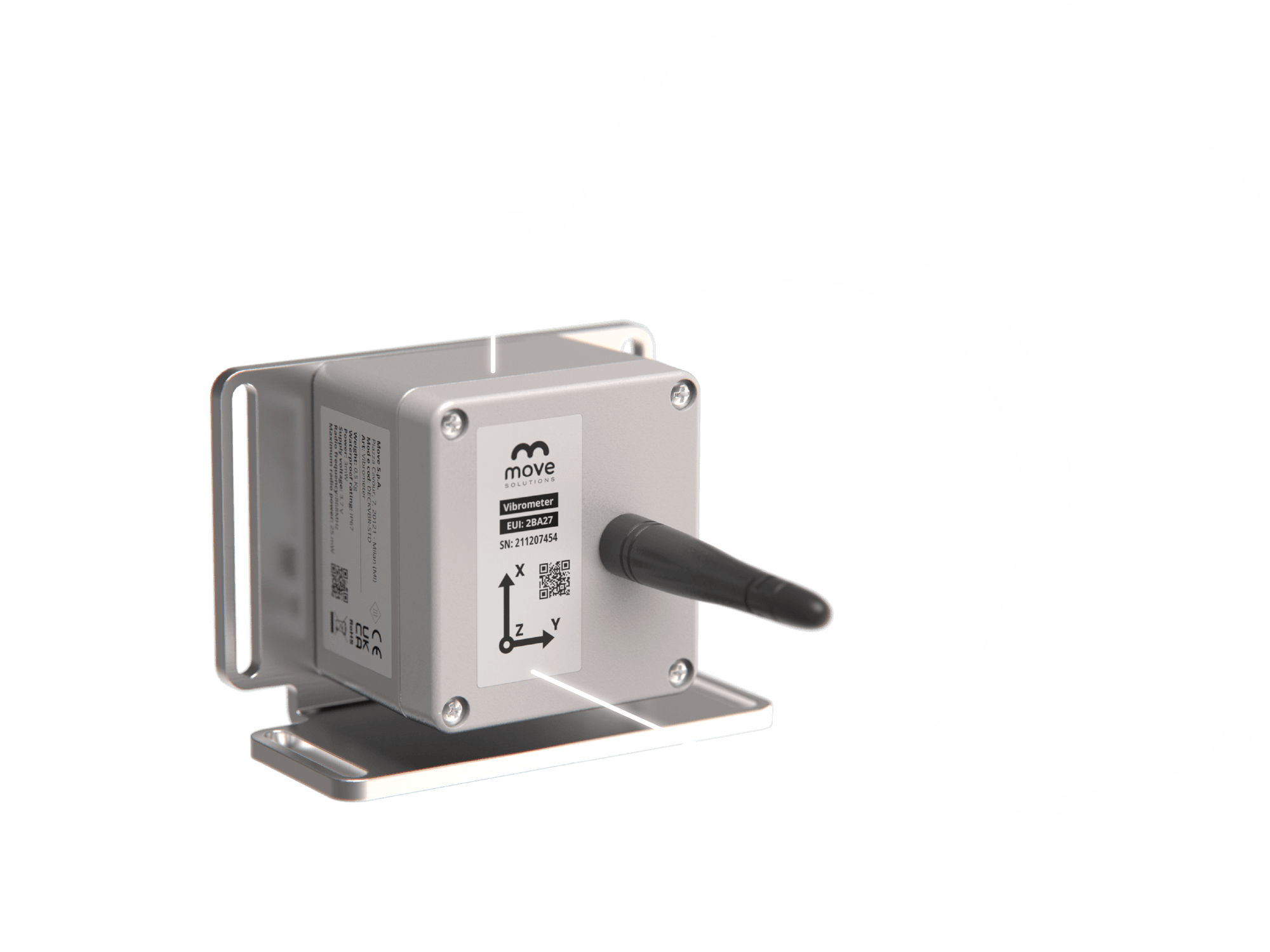
More information about Digital Twin and Mobile Mapping
Benefits of mobile mapping and digital twin:
- Fast and accurate data captureFast and accurate: Enables large volumes of data to be collected efficiently, reducing the time required for analysis and planning.
- Real-time monitoringReal-time monitoring and simulation: Digital twins can be integrated with real-time monitoring systems, providing up-to-date data that facilitates informed decision making.
- Maintenance optimizationMaintenance optimization: With a digital twin, it is possible to predict structural failures and plan maintenance before serious problems arise, reducing costs and improving safety.
- Improved planning and designThe creation of accurate 3D models enables engineers and designers to visualize and plan projects with greater accuracy.
- Accessibility to complex areas: Mobile mapping can capture data from areas that are difficult to access, such as highways, tunnels and bridges, without disrupting traffic or compromising safety.
Mobile mapping and digital twin applications:
- ManagementInfrastructure management: Creation of digital twins of roads, bridges and buildings for continuous monitoring and predictive maintenance.
- Urbanism and planning: Generation of 3D urban maps for planning and development of new infrastructures.Generation of 3D urban maps for planning and development of new infrastructures.
- Security and surveillance: Digital models of urban and rural urban and rural areas for the improvement of security and emergency response systems.
- Engineeringand construction: Use of digital twins to simulate the impact of new construction projects on existing infrastructure.
- Transportation: Capturing road and rail data to improve mobility and design more efficient routes.and rail data for improving mobility and designing more efficient routes.
