



Description
Redefining the limits of remote sensing with airborne hyperspectral technology
These cameras operate in VNIR (visible and near infrared) and SWIR (shortwave infrared) spectral ranges, allowing the capture of detailed spectral data across a broad wavelength spectrum. Each pixel of the captured line contains full spectral information, facilitating the identification of unique spectral signatures and chemical fingerprints of the materials present.
As the sensor moves aboard the aircraft, consecutive lines are collected to form a three-dimensional data cube that integrates spatial and spectral dimensions.
This approach is exceptionally effective for applications that require deep and continuous analysis over large areas, such as large-scale precision agriculture, mining, and environmental monitoring.

Other products you may be interested in
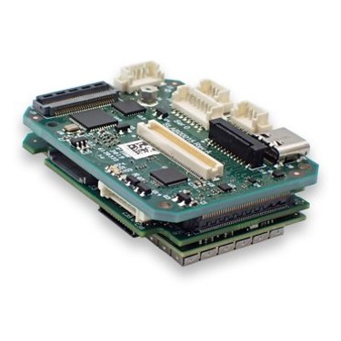
Processing cards
Imaging applications in onboard systems are increasingly critical in environments such as ISR (Intelligence, Surveillance and Reconnaisance), infrastructure inspection, precision agriculture, fire prevention, perimeter security or border control. Onboard image processing boards play a key role in obtaining the necessary results in visible, thermal or multi/hyperspectral range onboard cameras.
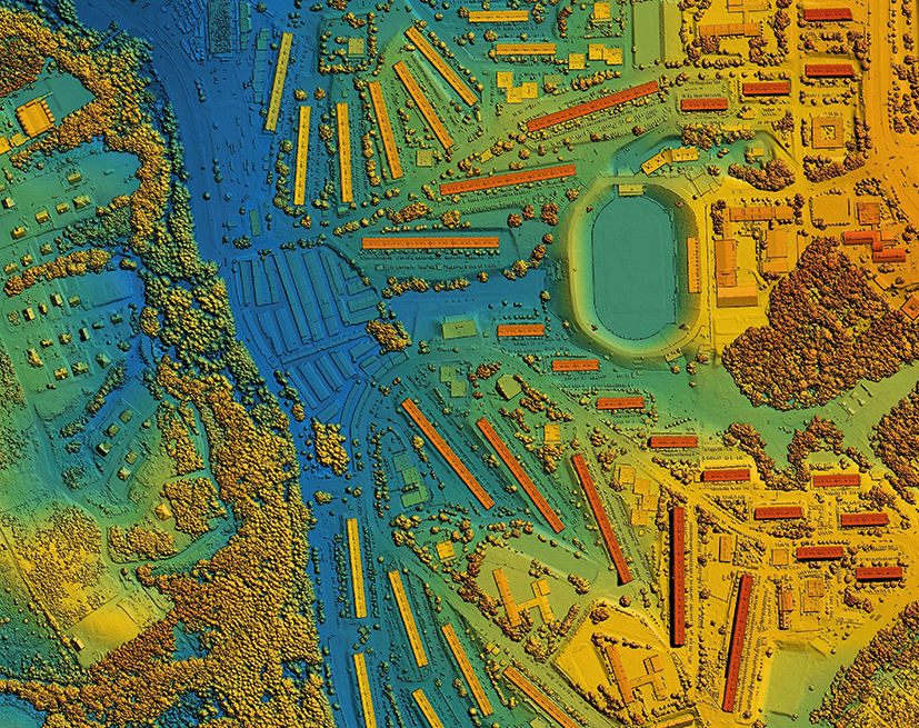
LiDAR for Drones
LiDAR (Light Detection and Ranging) technology for drones revolutionizes the way we capture environmental data. Using pulses of laser light, LiDAR measures distances with millimeter precision, creating detailed 3D maps in real time. LiDAR technology is ideal for surveying, precision agriculture and forestry management, improving efficiency and decision making and providing crucial information quickly and accurately.
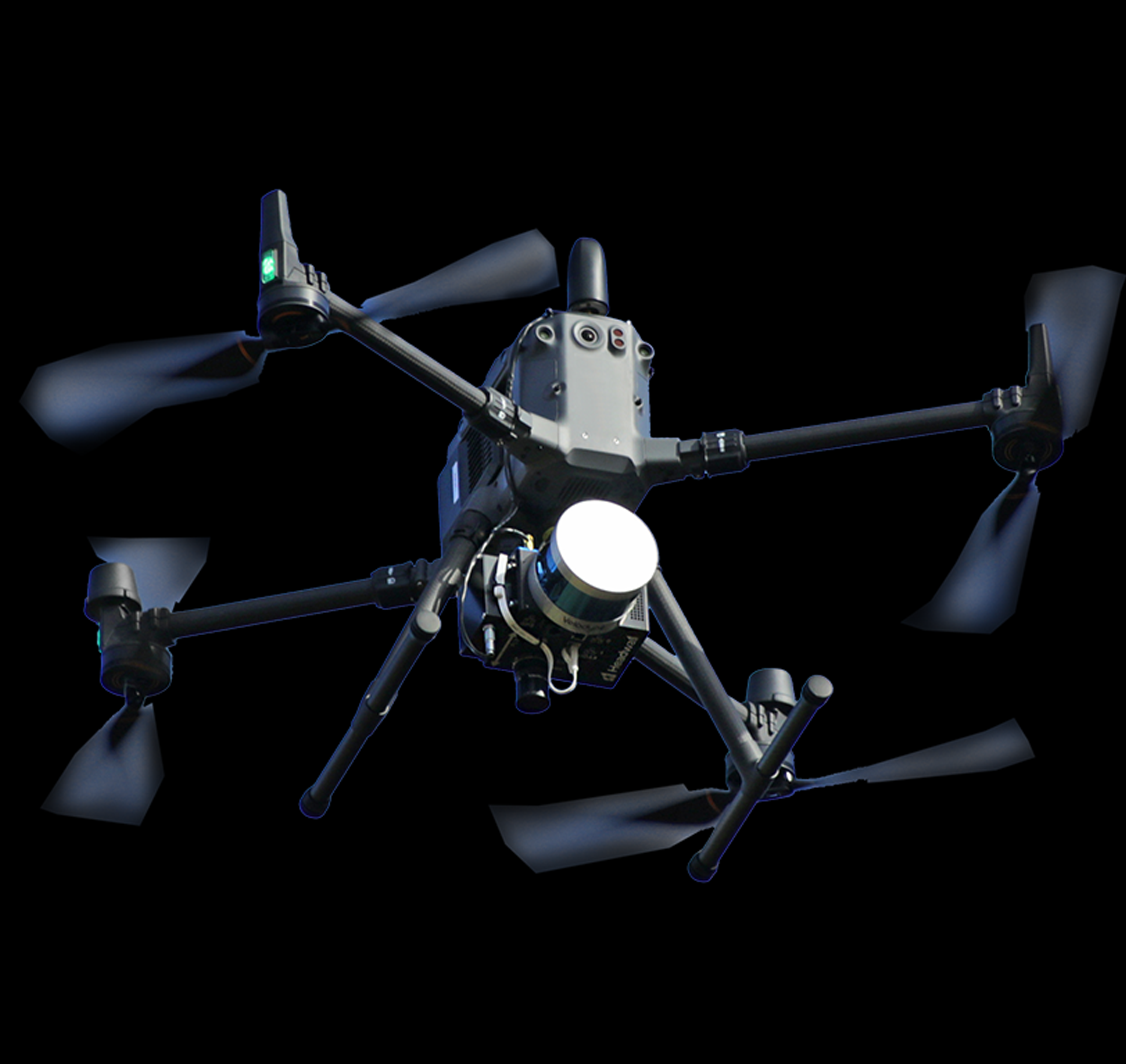
Hyperspectral for Drone
Hyperspectral cameras have become an indispensable tool in a variety of scientific, industrial and military applications due to their ability to capture detailed spectral information. Headwall Photonics, with over 33 years of experience, is a leader in the development and manufacture of high-performance hyperspectral solutions for OEM customers, integrators and end users.
More information about Hyperspectral for Aircraft
Headwall Photonics: Leadership in Airborne Hyperspectral Cameras
With more than 15 years of experience in manufacturing hyperspectral imaging systems for airborne and ground applications, both civil and military, Headwall Photonics is positioned as the trusted partner for those seeking innovative and high-performance solutions in the field of spectroscopy from airborne platforms.
Hyperspectral pushbroom cameras operate by capturing spectral and spatial data simultaneously as the aircraft moves over a scene. This method employs a narrow slit that allows light to enter from a specific line of the observed area. The light then passes through an advanced optical system that includes fully reflective holographic diffraction gratings designed to separate the light into its spectral components with great precision.
Advanced Aerial Applications
Airborne hyperspectral cameras have a transformative impact on a variety of large-scale remote sensing applications:
- Environmental monitoring: Enable identification of pollutants in large bodies of water, assessment of air quality over large regions, and monitoring of changes in sensitive ecosystems with unmatched coverage and recurrence.
- Precision agriculture: They are crucial tools for early detection of crop diseases such as Verticillium in olive trees or Huanglongbing (HLB) in citrus, optimizing treatments and minimizing losses in vast agricultural extensions. They are also fundamental for assessing the health of high value-added crops, such as vineyards, by identifying water stress or nutritional deficiencies.
- Forest inventory: Generate detailed vegetation maps, allowing differentiation of species and assessment of canopy density in large forest areas, which facilitates sustainable management of forest resources at the regional level.
- Mining: They are essential for mineral exploration and mapping in extensive geological areas, identifying deposits with an accuracy that significantly reduces the operating costs and environmental impact of prospecting.
- Infrastructure inspection: Enable detection of structural damage to bridges, roads and buildings along large infrastructure networks by analyzing materials and their degradation, improving safety and maintenance efficiency.
Thanks to their ability to capture detailed spectral data and their integration into aerial platforms such as aircraft, these cameras offer versatile and highly efficient solutions to address complex challenges in multiple sectors, improving decision making and promoting sustainability on a larger scale.
