Specialized Article
Terrestrial Remote Sensing for Forestry Applications

On September 1, we attended the Workshop on Near-Earth Remote [...]
On September 1, we attended the Workshop on Near-Earth Remote Sensing for Forestry Applications, organized by the Higher Polytechnic School of Engineering (EPSE) at the University of Santiago de Compostela.
The main objective of the workshop is to share scientific findings and practical applications of technology in the forestry sector, as well as to provide hands-on experience with operational aspects of data collection and analysis. It consists of scientific and technical sessions in a conference format, as well as practical field data collection sessions for subsequent analysis and computer processing.
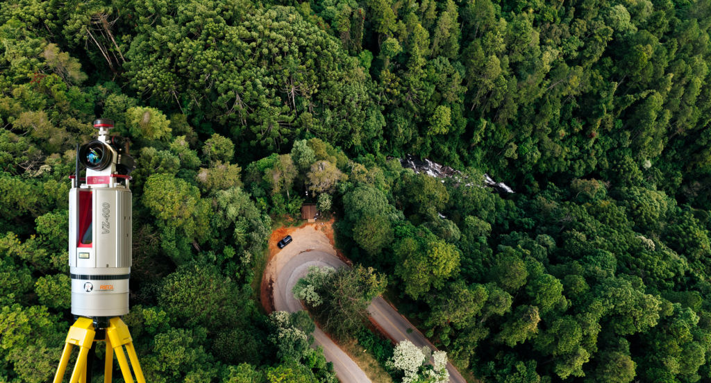
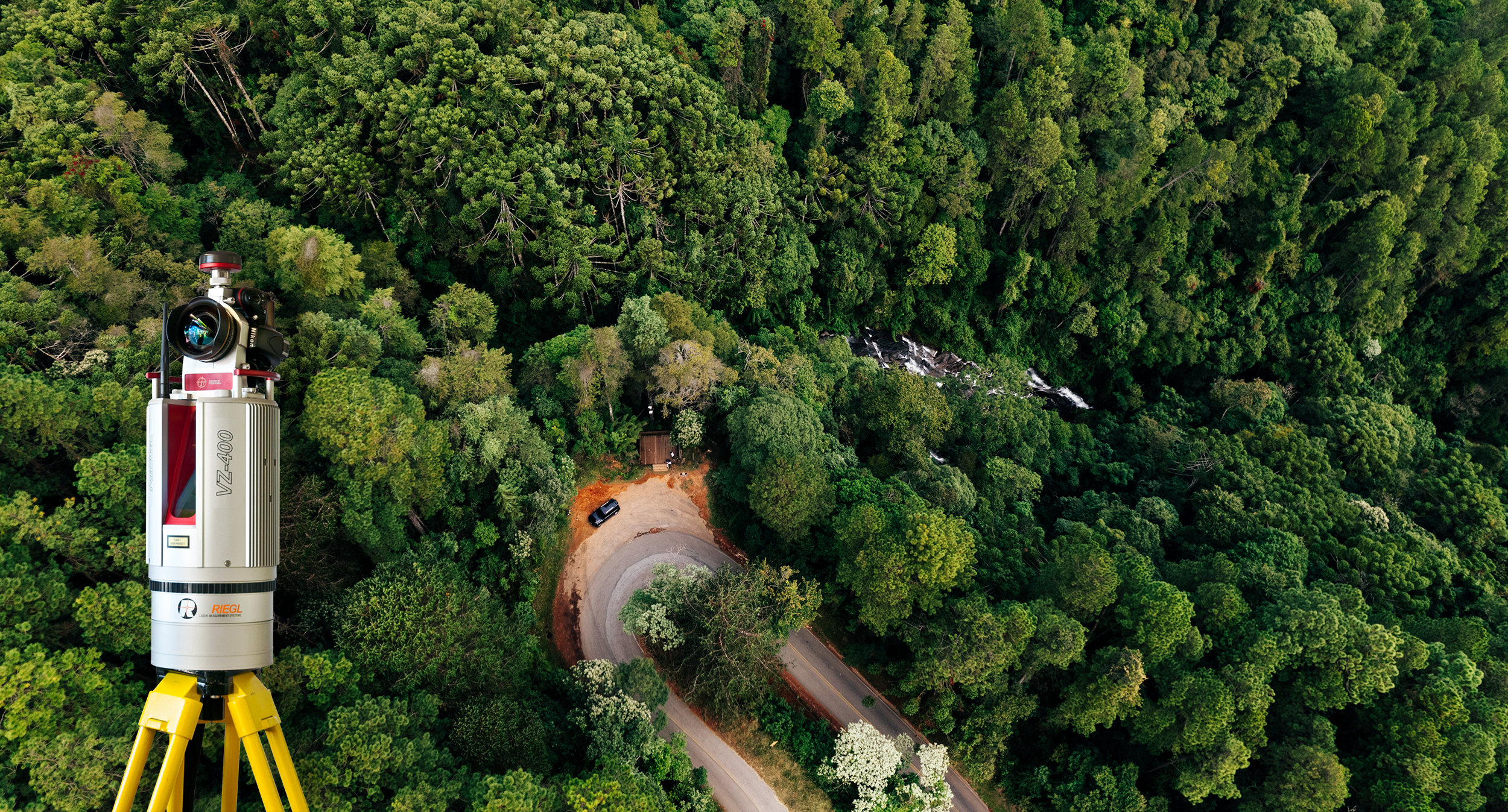
Our colleague Sergio García from Álava Ingenieros explains how to merge terrestrial and aerial LIDAR data in forest environments. For the data collected from the ground, a demonstration using Riegl’s VZ-400i equipment is featured. In addition to delivering top performance in demanding environments and conditions, this equipment combines an innovative processing architecture, internet connectivity, and a set of MEMS sensors with Riegl’s latest laser scanning technology.
Real-time data collection is made possible by two processing platforms that allow for simultaneous data acquisition, waveform processing, real-time recording, referencing, filtering, and analysis. Its internet connection via 3G/4G/LTE modem, Wi-Fi, Bluetooth, or Ethernet allows you to access your data in real time.