
SPAIN | AEROESPACIAL

IR imaging for fire prevention

Fire Fighting Campaign
Share:

PROJECT OBJECTIVE

Infrared thermography, the key piece

Wildfires affect multiple sectors and degrade ecosystems, requiring anticipatory management adapted to climatic, ecological and social changes.

Fire defense must consider these factors in its future strategies. One of the key services is aerial coordination, carried out by specialized technicians in aircraft equipped with image capture and transmission systems.

Execution Date:

2018

Location:

Spain

Sector:

Aerospace

Client:

How we made it happen

Georeferenced image capture and analysis
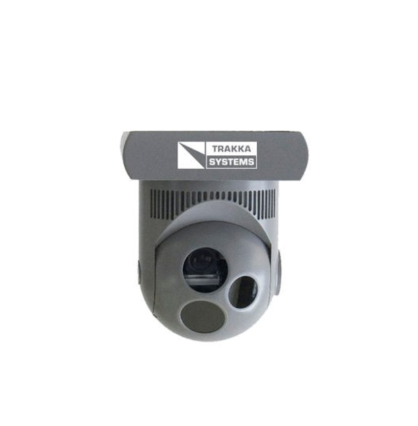
The most suitable image acquisition system for the requirements of the regional administrations was defined. The basic requirements of a gyro-stabilized gyro-stabilized image capture system (gimbal) were established to provide valuable information to all the agents involved in forest fire extinction.

This requirement was based on the importance of locating the most active areas of the fire, identifying the best access and evacuation routes, as well as detecting areas with worrying embers where there is no visible fire. In addition, it highlighted the ability of infrared cameras to obtain images of the active fire through the dense smoke generated in this type of emergency.

This requirement is due to the need for the camera operator to visualize with the naked eye, prior to the analysis with the infrared camera, the environment in which the observation mission is to be carried out.

Essential to unequivocally locate the coordinates of the critical points in the affected area, so that the different agents involved (especially firefighting aircraft and ground brigades) can obtain this geographic information in real time.

The proposed capture system generated a large amount of information, so it was essential to have software that could efficiently and quickly manage the videos, images and geographic information generated.

This software not only managed the information, but also integrated with the transmission systems installed by Tecnoaviación Deportiva, guaranteeing the availability of data on the ground and in real time.

OUR CONTRIBUTION

Some of our products and services applied to this project

Service

Technology consulting

We advise on the best technological solution to apply according to the needs of each project. Learn more about our technology consulting.

INTEGRAL SOLUTION

Intelligent vision

We provide a gyro-stabilized system for capturing georeferenced images. Get to know our integral solutions in addition to intelligent vision.

PRODUCT

Artificial vision

From thermography, RGB cameras, GPS system to image management software. See all our machine vision products.

Would you like more information about our products and services for your industry?

Would you like more information about our products and services for your industry?

RESULTS AND ACHIEVEMENTS

On-board systems

A gyro-stabilized system for capturing georeferenced images that provides valuable information to all agents involved in forest fire suppression.

OUR EXPERIENCE
Other projects and clients that have counted on us

GROUP COMPANIES

The synergy of our companies is the key to our success.

We have specialized in the needs of our customers and the technologies they require, maximizing the capabilities of each brand with the synergy of the Alava Group itself.

CONTACT

Let’s build the industry of the future today

Check out our
products and services

Join our
partner ecosystem