ING. CIVIL AND CONSTRUCTION
Milan Metro (Italy)
Upgrading of the signaling and safety systems of the Milan Metro tracks.
PROJECT OBJECTIVE
Updating of signaling and road safety systems
Grupo Álava has participated in a project for the Milan Metro consisting of updating and improving the safety and signaling systems on the tracks of one of its lines, the CM3. During the work required to carry out these actions, a complete inventory of the track assets was also carried out.
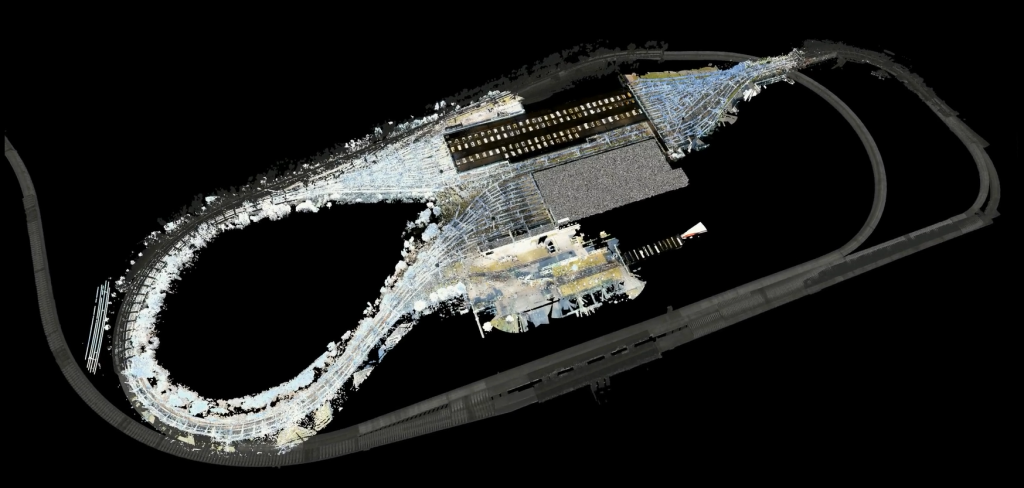
Mobile Mapping technology was used for this project, which allowed mobile 3D laser scanning with moving devices from the first station on the Comasina line to the last station, San Donato. In total, 20 stations on the CM3 line of the Milan Metro and 17 kilometers of track were scanned.
Execution Date:
January 16-February 23
Location:
Milan, Italy.
Sector:
CIVIL ENGINEERING AND CONSTRUCTION
Client:

How we made it happen
Mobile Mapping together with Static LiDAR
OUR CONTRIBUTION
Some of our products and services applied to this project

Service
Technology consulting
We advise on the best technological solution to apply according to the needs of each project. Learn more about our technology consulting.

RESULTS AND ACHIEVEMENTS
Data collection
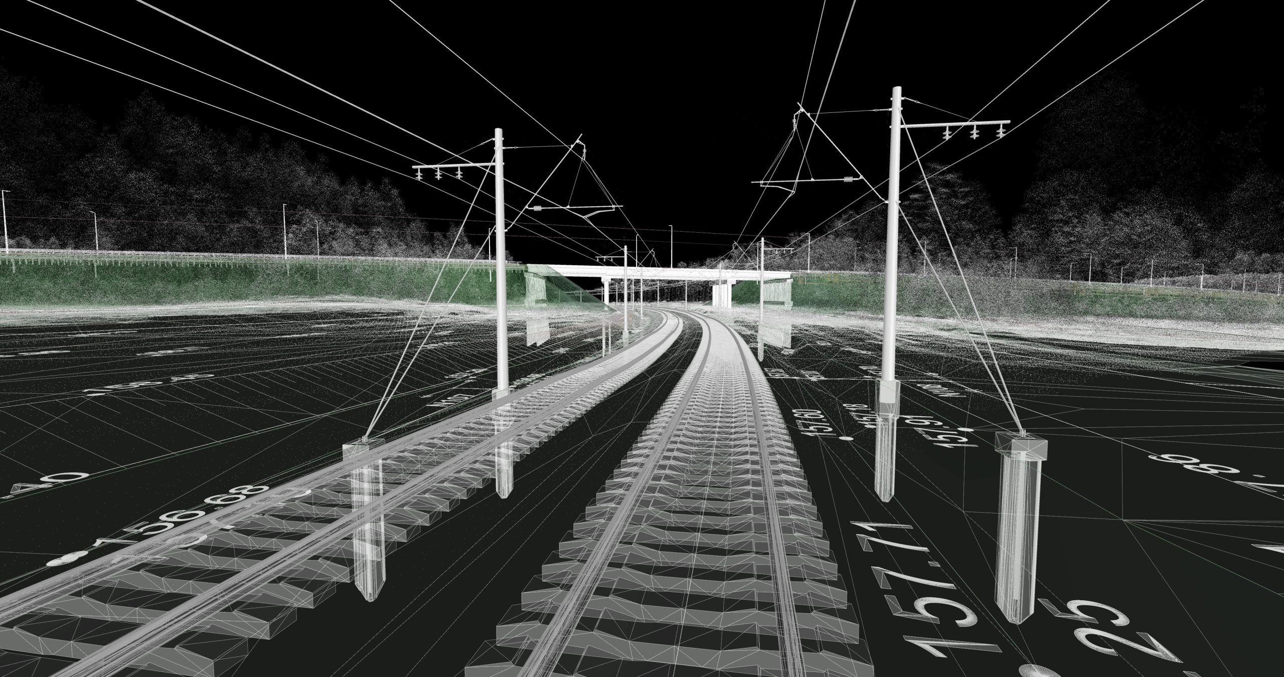
Once this phase was completed, a new stage was passed, in which the data obtained with the point cloud was processed. From this data, the lanes and center lines were automatically extracted, saving this information for future needs. Thanks to this information, those responsible for the Milan Metro had, as a result of the work carried out by the experts of the Alava Group, all the necessary data to carry out the tasks of updating their signaling and safety systems.
OUR EXPERIENCE