SPAIN | AEROESPACIAL
IR imaging for fire prevention
Fire Fighting Campaign
PROJECT OBJECTIVE
Infrared thermography, the key piece
Wildfires affect multiple sectors and degrade ecosystems, requiring anticipatory management adapted to climatic, ecological and social changes.
Fire defense must consider these factors in its future strategies. One of the key services is aerial coordination, carried out by specialized technicians in aircraft equipped with image capture and transmission systems.
Execution Date:
2018
Location:
Spain
Sector:
Aerospace
Client:

How we made it happen
Georeferenced image capture and analysis
OUR CONTRIBUTION
Some of our products and services applied to this project
Service
Technology consulting
We advise on the best technological solution to apply according to the needs of each project. Learn more about our technology consulting.
RESULTS AND ACHIEVEMENTS
On-board systems
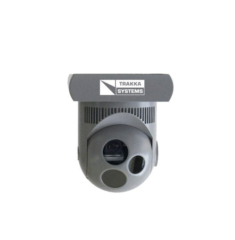
A gyro-stabilized system for capturing georeferenced images that provides valuable information to all agents involved in forest fire suppression.
OUR EXPERIENCE